Museo Galileo
Florence and America


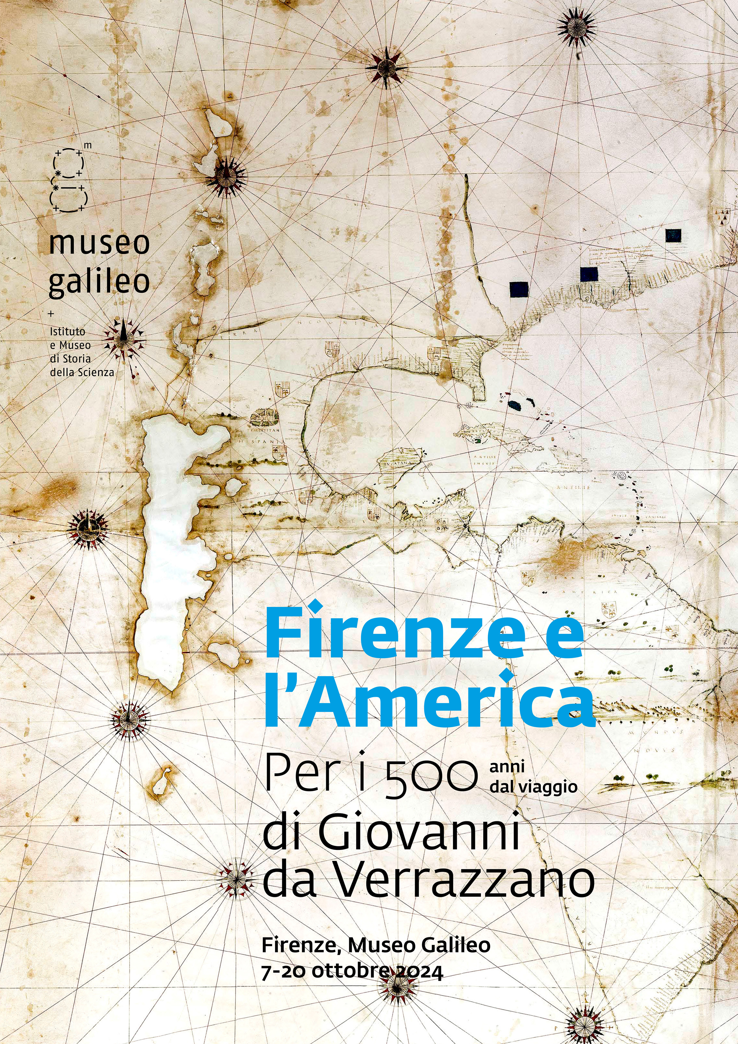
The exhibition presents the contributions by Amerigo Vespucci and Giovanni da Verrazzano to the discovery and the denomination of the American continent. The “birth certificates” of the New World were actually named after the two Florentine navigators: Vespucci inspired the name America for the South American continent in 1507, while da Verrazzano—who in 1524 explored North American coasts and the New York Bay—gave his family name to the lands between Florida and Newfoundland. Unlike America, which was later extended to the entire continent, the name Verrazzana survived on maps for only a few decades.
Giovanni da Verrazzano’s Voyage
The exhibition is organized on the occasion of the initiative called “Domeniche di carta.” A satellite workshop on “Amerigo Vespucci: alla scoperta degli strumenti di navigazione” will be held on October 13 at 11:00 am (Italian only). Both events are part of the programme developed in collaboration with the Archivio di Stato di Firenze, where the exhibition Itinerari di carta. Atlanti, mappe, diari tra il XVI e il XVIII secolo is open to the public until October 31, 2024.
Info
Museo Galileo, Piazza dei Giudici 1, Florence
Hours:
Wednesday, Thursday, Friday, Saturday, and Sunday: 9:30 AM - 6:00 PM
Tuesday: 9:30 AM - 1:00 PM
The cost is included in the museum entrance ticket.
Info and reservations for the workshop::
+39 055 265 311,
Highlights
Girolamo da Verrazzano’s World Map
1529
Vatican City, Musei Vaticani
Facsimile
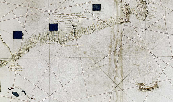
Giovanni da Verrazzano reached North Carolina’s coasts in 1524, going as far as the New York Bay and beyond. He believed he had found the northern passage to the Indies in front of the large Pamlico Sound Lagoon, that seems to be extended for many miles in the mainland like an isthmus connecting to the Pacific Ocean. The world map by Girolamo da Verrazzano, brother and voyage companion to the Florentine navigator, is consistent with this belief. The Verrazzano brothers hurried to give their family name to the Northern continent, which in this world map as well as in other 16th-century maps is called Verrazzana, with obvious reference to the name America after Amerigo Vespucci.
Martin Waldseemüller’s World Map
1507
Washington D.C., Library of Congress
Facsimile
The map was drawn in 1507 in Saint-Dié-des-Vosges, in Lorraine, on the basis of information recorded by Amerigo Vespucci during his 1497-1504 voyages in the New World. As a tribute to the Florentine navigator—who was the first to understand that the coasts he explored were part of a new continent—German cartographer Waldseemüller and the humanist Matthias Ringmann gave those lands the name America. Waldseemüller’s map, which depicted the New World as a distinct continent, was a huge leap forward in geographical knowledge, and marked the end of the traditional tripartition of the terrestrial globe into Europe, Asia and Africa.
Fra Mauro’s World Map
ca. 1450
Venice, Biblioteca Nazionale Marciana
Facsimile
Fra Mauro’s world map reflects the worldview that was taking shape in the mid-fifteenth century in one of the most flourishing mercantile and cultural centres in Europe, i.e. the Republic of Venice. The world map was believed to have been created on the basis of Marco Polo’s cartographic records, who is undoubtedly the main source for the first cartographic representation of Asia. It was created around 1450 in the monastery of San Michele in Isola, and some copies, today lost, were made for the King of Portugal and for Lorenzo the Magnificent. The world map is considered to have provided decisive factors to the Portuguese plan of circumnavigating Africa, but it is likely that the existence of a specimen in Florence contributed to the geographical studies which led to the discovery of the New World.

 EN
EN  IT
IT 


